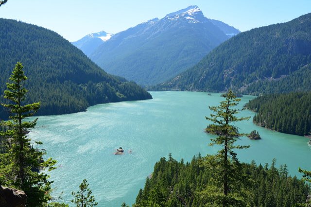
SR-20 across the North Cascades is the ride Washington riders build whole weekends around. Diablo Lake's turquoise water, the switchbacks up to Washington Pass, the long open sweepers down into the Methow Valley. It's also a road the state closes for roughly half the year, and even when it's open, the pass makes its own weather that has almost nothing to do with what's happening in Seattle or Winthrop.
Is it even open right now?
SR-20 closes for winter every year, usually in late November or early December, and typically doesn't reopen until mid-April to early May. Those are averages, not promises. In 2026, emergency slope stabilization and embankment repairs near Diablo Lake and Canyon Creek pushed the reopening all the way to mid-June.
While this one's closed, White Pass further south stays open through the winter if you need a way across the Cascades.
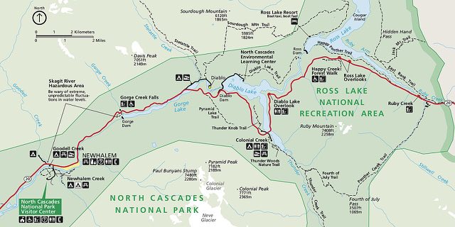
Don't ride based on "it's usually open by now." Check WSDOT's North Cascades Highway pass report the morning you leave. Slides, avalanche debris, and repair work can move the closure gates with little notice in either direction.
What actually closes it
- Snowpack. The standard winter closure, driven by accumulation at Washington and Rainy Pass.
- Avalanche debris. Can delay the spring reopening well past the "typical" window.
- Slope failures and slides. The 2026 closure extension came from embankment damage, not snow. Shoulder season openings can still get pushed back for reasons that have nothing to do with the forecast.
The pass makes its own weather
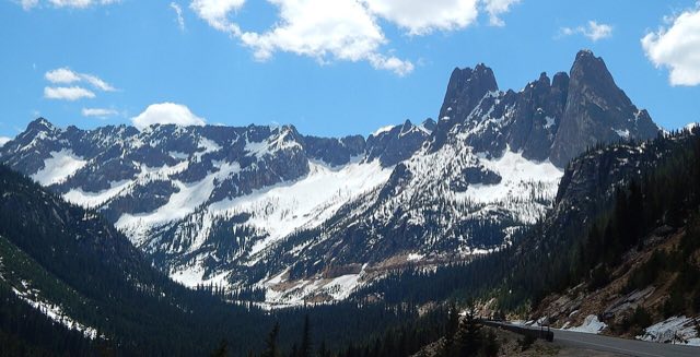
This is the part riders underestimate. Winthrop and Seattle can both be reporting a warm, dry day while Washington Pass is running 20 to 30°F colder with its own cloud deck sitting right on the ridgeline. You're gaining roughly a mile of elevation from the Skagit Valley floor to the summit, and the temperature drop tracks right along with it. Gear that felt fine at the trailhead can leave you cold, wet, and slow to react by the time you hit the overlook.
The National Park Service specifically calls out this stretch for hypothermia risk during summer riding. Cool mountain air plus any rain or wind chill at highway speed is enough, even if it was 80°F an hour earlier down in the valley. Pack a rain layer even on a day that looks clear from the trailhead.
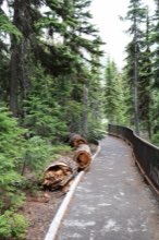
A quarter-mile paved path right at the summit, with views of Liberty Bell and the Early Winters Spires. Round trip takes 20 to 30 minutes and it's day use only, no camping.
What to actually watch for
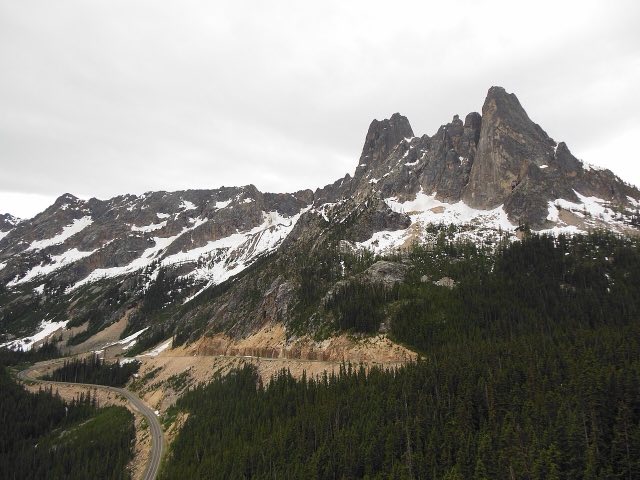
- Wet switchbacks. The climb to Washington Pass has decreasing radius curves and narrow shoulders. A dry morning can turn into wet pavement by the time you're heading back down if weather moves in over the ridge.
- Debris and loose gravel. Rockfall and washouts happen often enough on this corridor that the park's own guidance tells riders to watch the road surface, not just the view.
- Wildlife on migration routes. Deer and other animals cross through the Methow side of the corridor. Worth watching for at dawn and dusk no matter what the weather's doing.
Best way to plan the ride
Treat this as two separate weather questions, not one. What's happening at your starting elevation, and what's happening up at 5,477 feet. A forecast for Winthrop or Marblemount tells you almost nothing about conditions at the summit. That's the elevation aware check we built MotoCast to handle. Plug in the route and it scores conditions along the actual climb, not just the nearest town.
Riverside patio on the Chewuch River in downtown Winthrop, right where the highway ends on the east side. Pub food and house-brewed beer, a solid reward for finishing the climb.